Remote sensing and AI for critical infrastructure

How did we create impact?
Critical infrastructure in Africa has limited capacity to absorb shocks like the current COVID-19 pandemic. Focusing on South Africa as a pilot country, the infrastructure track developed an interdisciplinary applied research project to increase knowledge, understanding, and application of space technology and AI for societal purposes. Relevant use cases for remote sensing and AI technologies will be developed, tested, and applied at cities and municipalities in South Africa. Ultimately, the project will increase local development of hardware and software solutions and make African solutions more resilient and independent. Interested to know more about this solution? Contact Ellen.
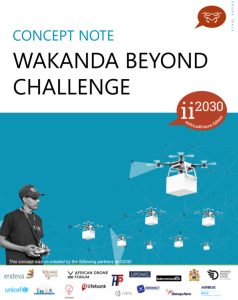
For more information see our Concept Note.


What are remote sensing and AI doing for critical infrastructure?
Health systems and other critical infrastructure in Africa have limited capacity to absorb shocks like the current COVID-19 pandemic. Leveraging data driven tools that are based on remote sensing and AI can help to provide an emergency response today and create more resilient infrastructure down the line. Such tools strengthen healthcare coverage, unlock opportunities for smarter urban planning and establish data as a useful foundation for decision making.

Why do we need more collaboratively created tech-enhanced frameworks for critical infrastructure?
An increasing number of African companies are developing decision-making tools based on remote sensing and AI technologies that can be used for critical and resilient infrastructure development. However, most African decision makers from public or private sector are not using these tools and technologies to inform their decision making around sustainability and inclusive innovation.

Who attended


